echarts-united-kingdom-js v0.0.1
Introduction
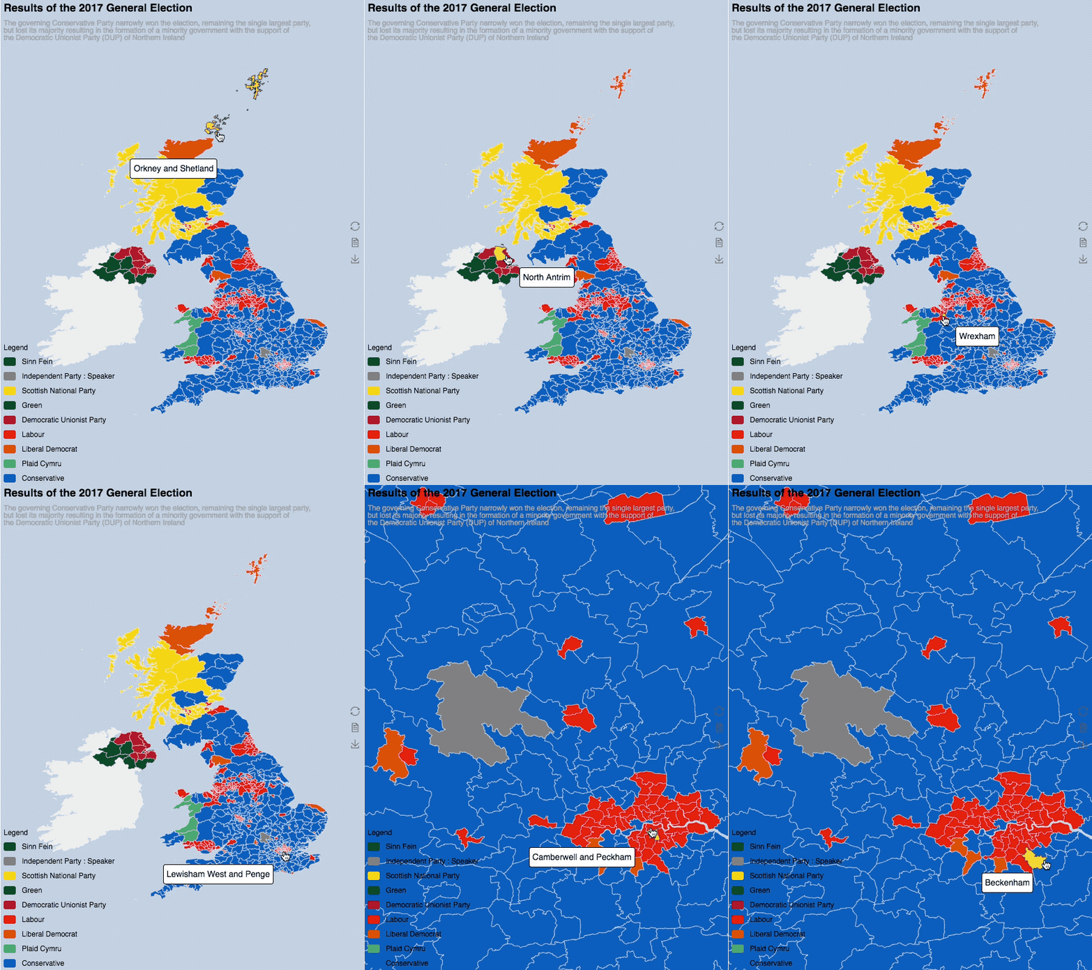
Digital UK maps are made in compressed geojson format specifically for echarts.

Features
Comparing with standard geojson files, echarts could do lossless compression. Take Westminster map as an example, the un-compressed size is as big as 188MB and the compressed file is of 9.9MB.
Gallery
Content
| echarts reference | origin |
|---|---|
| UK_electoral_2016 | Westminster Parliamentary Constituencies December 2016 Full Clipped Boundaries in the UK (reference) |
Credit
The digital boundaries and reference maps was derived from Office of National Statistics.
Under the terms of the Open Government Licence and UK Government Licensing Framework (launched 30 September 2010), if you wish to use or re-use ONS material, whether commercially or privately, you may do so freely without a specific application for a licence, subject to the conditions of the Open Government Licence and the Framework. If you are reproducing ONS content you must include a source accreditation to ONS.
License
Contains National Statistics data © Crown copyright and database right 2018
Contains OS data © Crown copyright and database right 2018
And any further sub-licenses MUST retain this attribution. For more legal terms, please visit Office for National Statistics on Licences
8 years ago