ocearo-ui v0.1.7
Ocearo UI
Sailing Made Smarter
Ocean Robot is set to transform sailing with an intuitive and visually engaging user interface (UI) designed for the OpenPlotter boat project. Powered by the Signal K platform, Ocean Robot gathers and stores boat data to provide real-time insights.
Inspired by Tesla's autopilot UI, this system delivers a futuristic and streamlined experience tailored for sailors.
Core Views
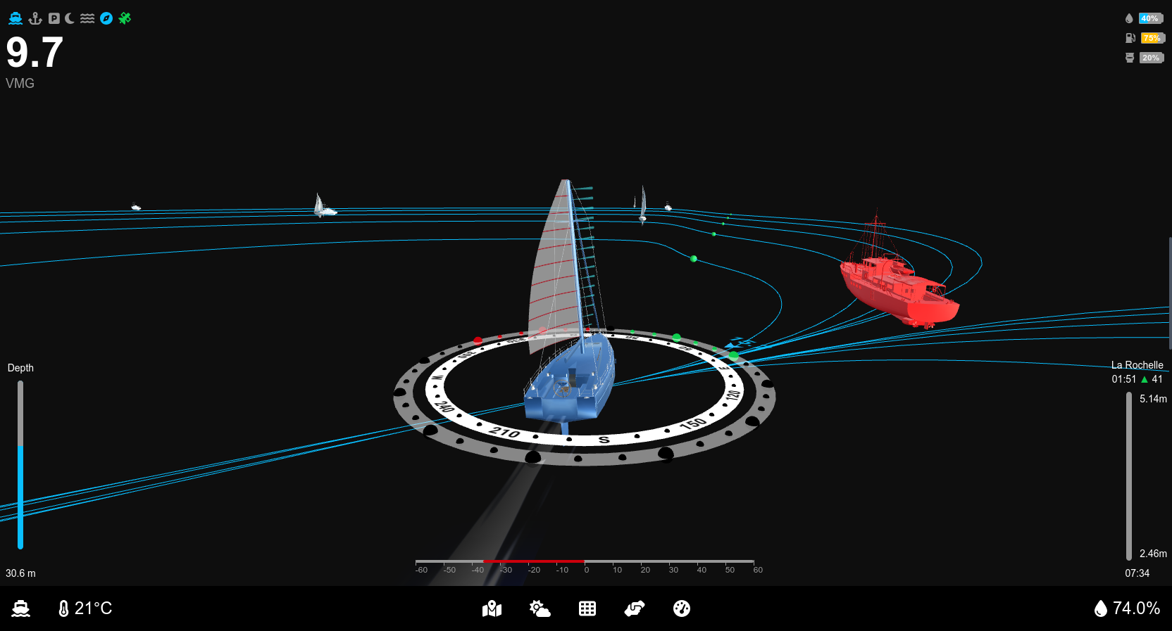
Cruising View
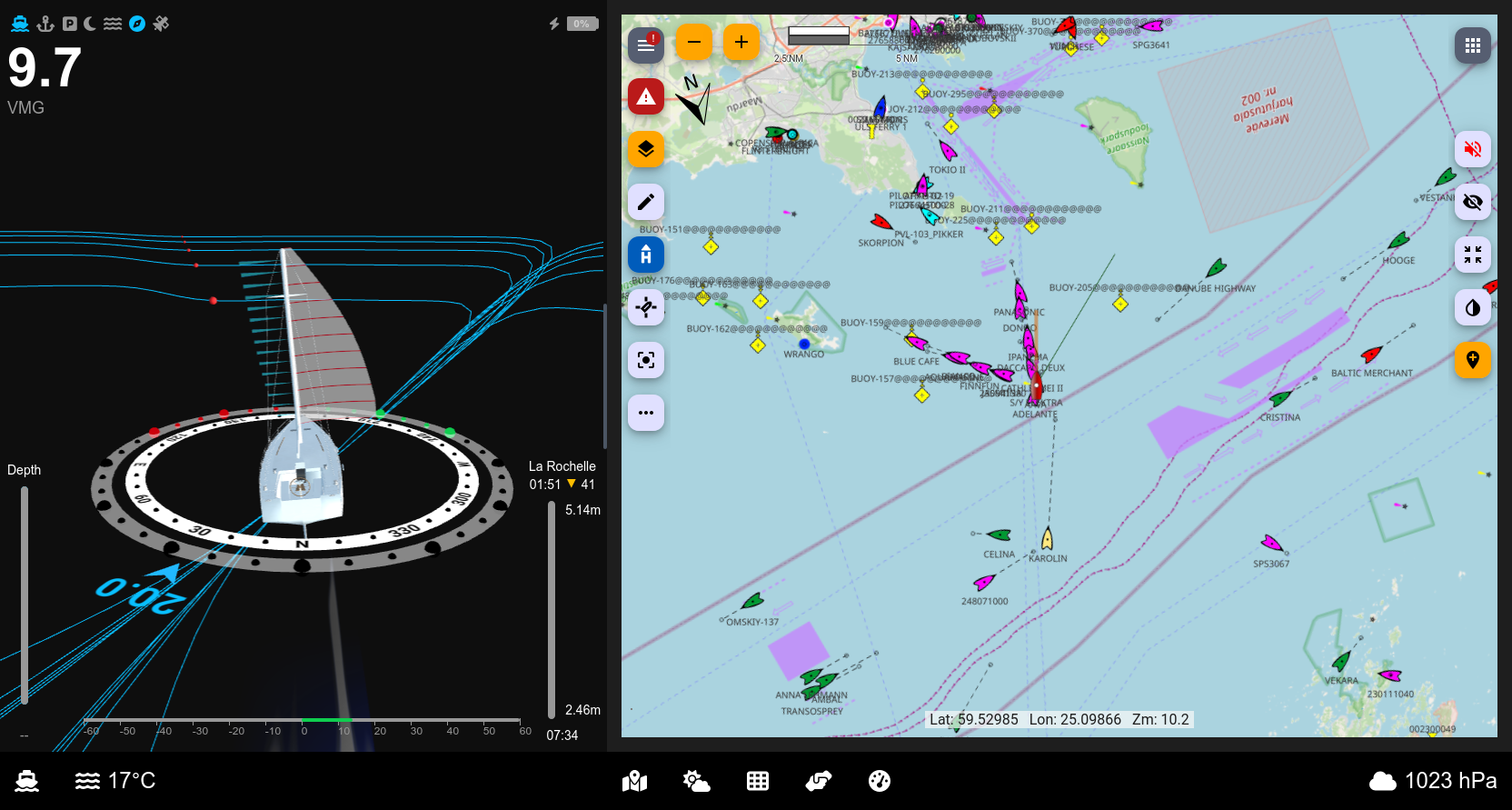
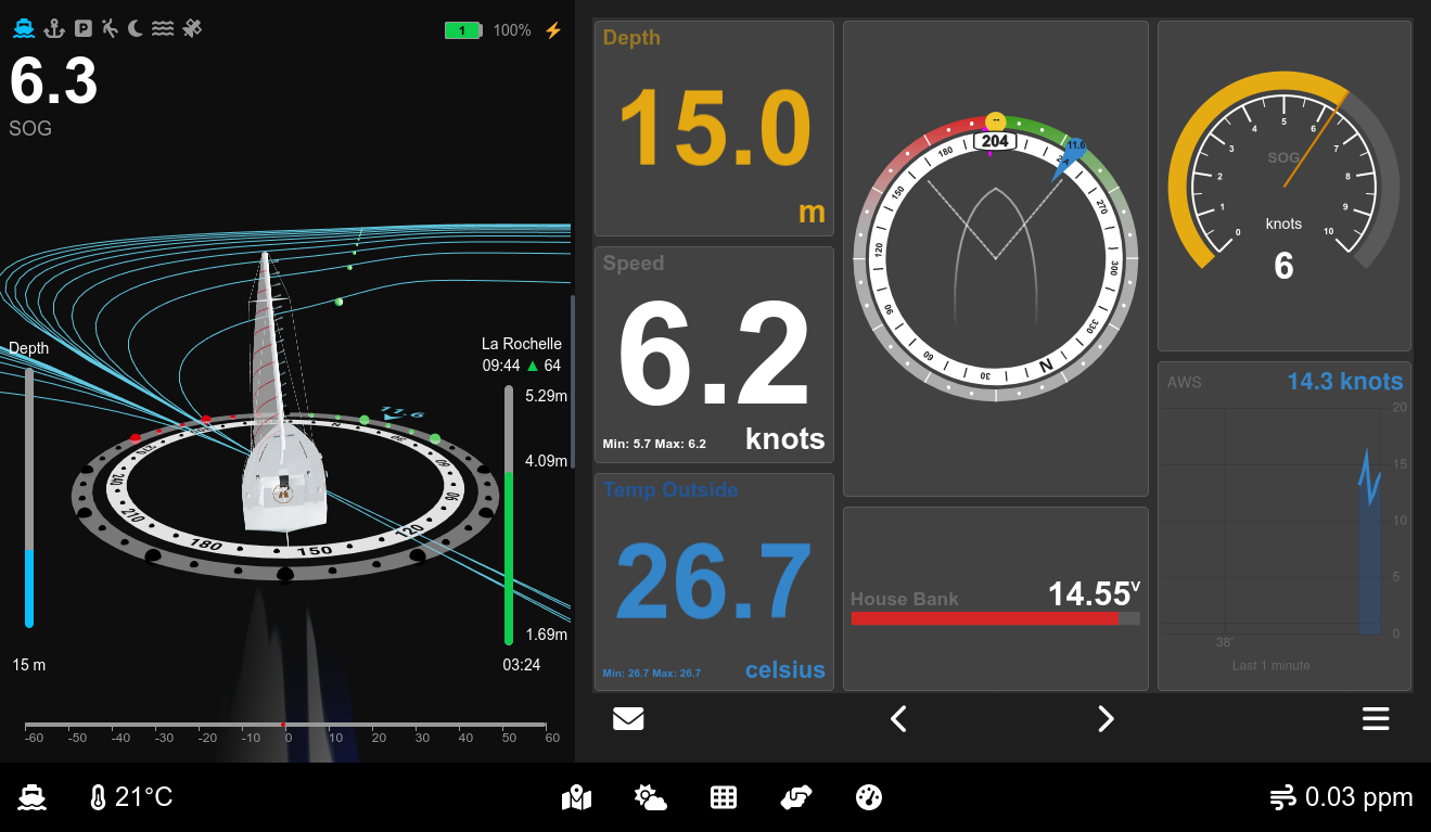
- 3D Visualization: Provides a dynamic 3D view of the vessel, displaying critical elements such as:
- Wind direction with laylines
- Compass
- Depth level
- Nearby boats, represented in 3D using AIS data
- Real-time sail adjustment recommendations based on wind conditions and sail positions
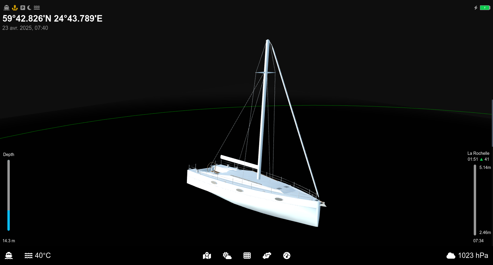
Anchored View
- Simplified 3D representation of the vessel with key at-anchor data, including:
- GPS position
- Time
- Tide levels
- Depth
- Battery status
Park Assist View
- Leverages camera and sensor data to simplify docking by:
- Displaying trajectory predictions based on wind and rudder angle
- Showing speed indications and live feeds from the front camera
- Highlighting available berthing spots
Currently in progress.

Man Overboard (MOB) View
- Features 3D visualization to pinpoint the location and direction of the person overboard, ensuring precise and timely rescue operations.
Currently in progress.
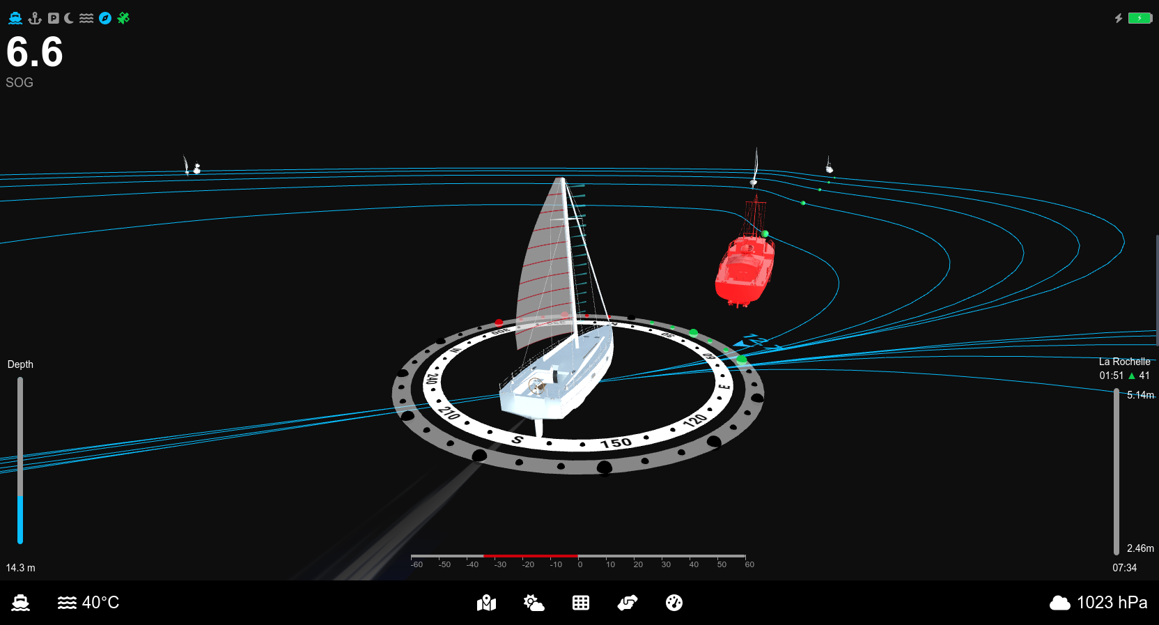
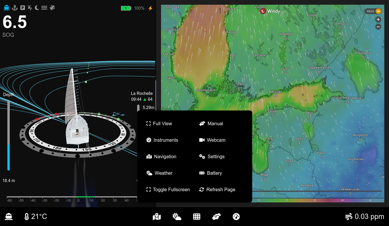
Other Views
Additional visuals enhance the system's functionality:
Vision for the Future
Ocean Robot's roadmap includes advanced features aimed at enhancing safety and efficiency for sailors:
- AI-powered object detection for floating debris and obstacles
- Integration with advanced camera systems (e.g., see.ai) to detect floating objects
Future Enhancements:
- Camera-based monitoring of sail indicators (penons) for optimal sail trim suggestions
Check out the live demo: https://laborima.github.io/ocearo-ui/
Or install it in Signal K using the NPM package: https://www.npmjs.com/package/ocearo-ui
Development and Deployment
Building
Clone sources:
git clone https://github.com/laborima/ocearo-ui.git
cd ocearo-ui
Install dependencies:
npm install next react react-domStart the development server:
npm run devAccess the UI at http://localhost:3000 in your browser.
Edit the page by modifying app/page.js. Changes update automatically as you save.
Boat Models
All 3D boat models have a waterline length of 10 meters and are positioned at 0 on the Y-axis. Use Blender to make any adjustments.
Setup Tides Data
Create JSON files and stores tide data under the following path:
public/tides/${harbor}/${MM}_${yyyy}.jsonA sample script allows downloading tide data for La Rochelle.
Example
After downloading, the directory structure for La Rochelle will look like this:
ls public/tides/larochelle/
01_2025.json  04_2025.json  07_2025.json  10_2025.json  download_data.sh
02_2025.json  05_2025.json  08_2025.json  11_2025.json
03_2025.json  06_2025.json  09_2025.json  12_2025.json
JSON Format
Each JSON file contains tide data for a specific month. The structure follows this format:
{
    "2025-01-01": [
        [
            "tide.low",
            "11:38",
            "1.45m",
            "---"
        ],
        [
            "tide.high",
            "05:21",
            "5.95m",
            "80"
        ],
        [
            "tide.low",
            "23:56",
            "1.56m",
            "---"
        ],
        [
            "tide.high",
            "17:44",
            "5.7m",
            "81"
        ]
    ]
}
Each tide entry consists of:
- Type: "tide.low" or "tide.high"
- Time: The time of the tide event (HH:MM)
- Height: Tide height in meters
- Coefficient: If applicable, the coefficient value (otherwise "---")
Setup Polar Data
The default POLAR file is based on the Dufour 310 (POL11111) from ORC-DATA.
For improved polar data, you can download a more accurate dataset from:
Save the downloaded file under:
/public/boats/default/polar/polar.jsonSetup Documentation
Create an index.json file and place it under:
/public/boats/default/docs/index.jsonJSON Format
[
    {
        "file": "a, c, e Series MFD Notice d_installation 87247-1-FR.pdf",
        "title": "Installation Manual for a, c, e Series MFD"
    },
    {
        "file": "Manuel propriétaire Dufour 310 Grand Large_2019-06_FR.pdf",
        "title": "Owner's Manual for Dufour 310 Grand Large"
    },
    {
        "file": "p70 et p70R Notice d_installation et d_utilisation 81355-1-FR.pdf",
        "title": "Installation and User Guide for p70 and p70R"
    },
    {
        "file": "OpenCPN User Manual-4-8-6-Sept-18-18-medium-compressed.pdf",
        "title": "OpenCPN User Manual Version 4.8.6"
    }
]
Deploying to OpenPlotter
Adapt and run the deployment script deploy.sh or:
git clone https://github.com/laborima/ocearo-ui.git
cd ocearo-ui
npm install next react react-dom
NODE_ENV=production npm run build
scp -r -P 22./out/* pi@openplotter.local:/home/pi/.signalk/node_modules/ocearo-ui
Adding to OpenPlotter Startup
Edit the LXDE startup configuration to launch the UI in kiosk mode:
vi ~/.config/lxsession/LXDE-pi/autostart
@chromium-browser --start-fullscreen --kiosk --disable-restore-session-state --app=https://localhost:3000/ocearo-ui--kiosk: Launches Chromium in fullscreen mode, preventing exit via keyboard shortcuts.--disable-restore-session-state: Prevents Chromium from restoring tabs after unexpected closures.--noerrdialogs: Suppresses error dialogs.
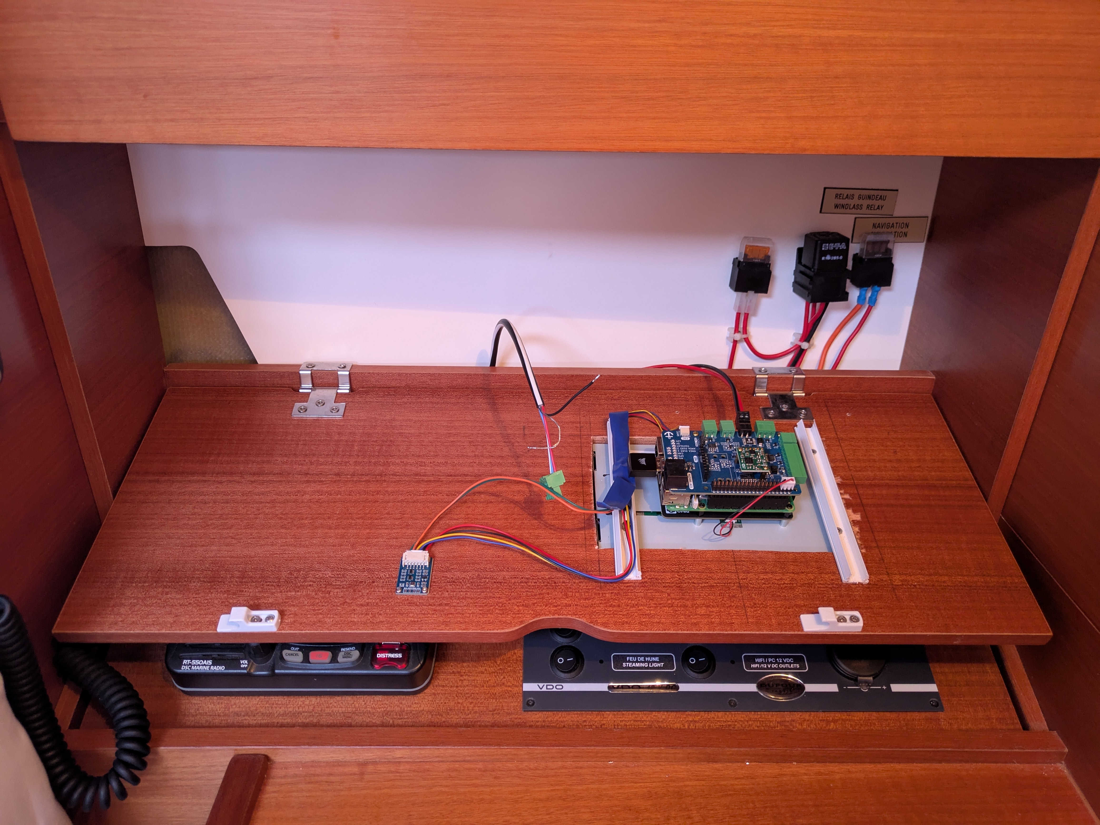
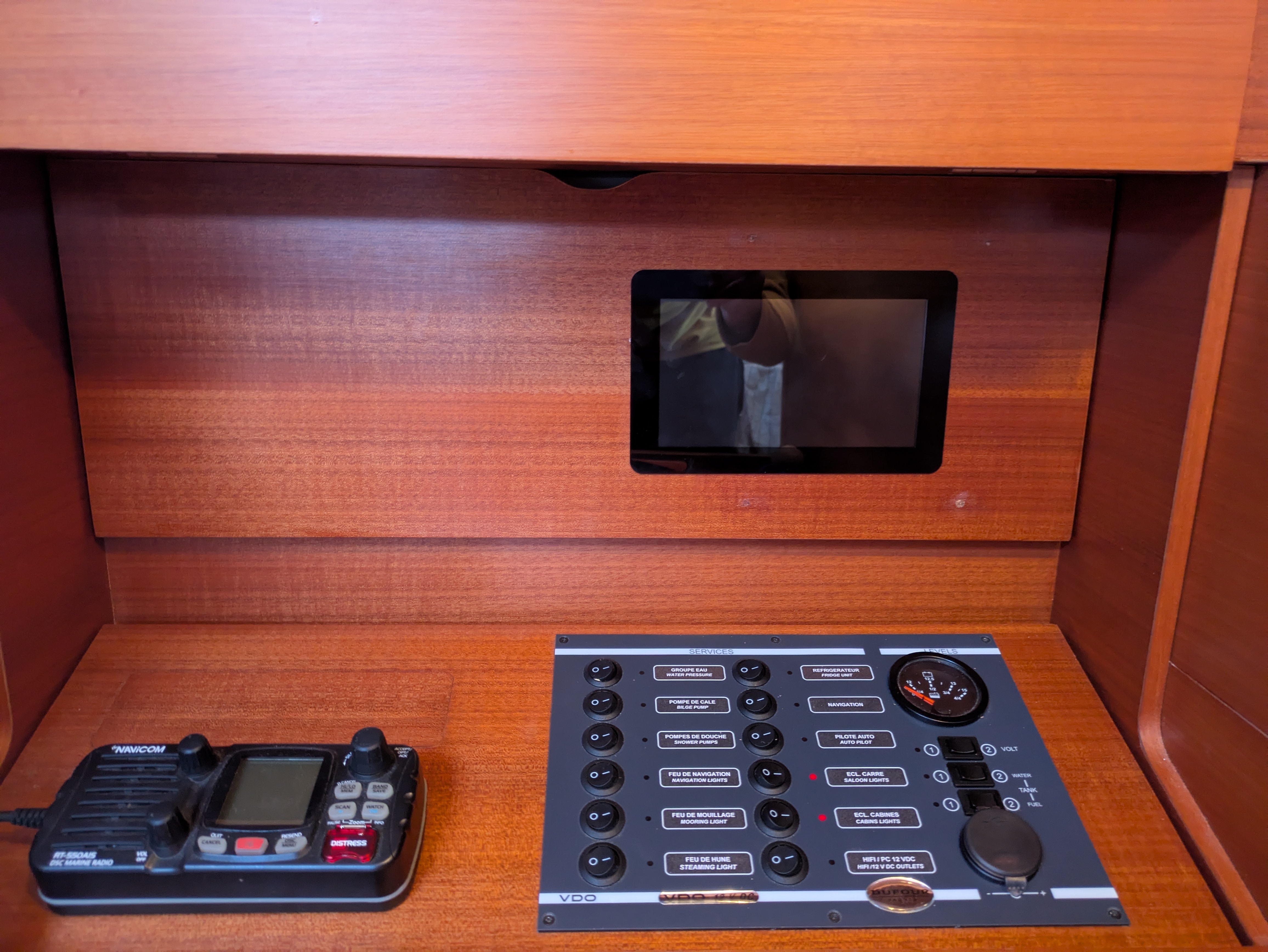
Sample Boat Integration
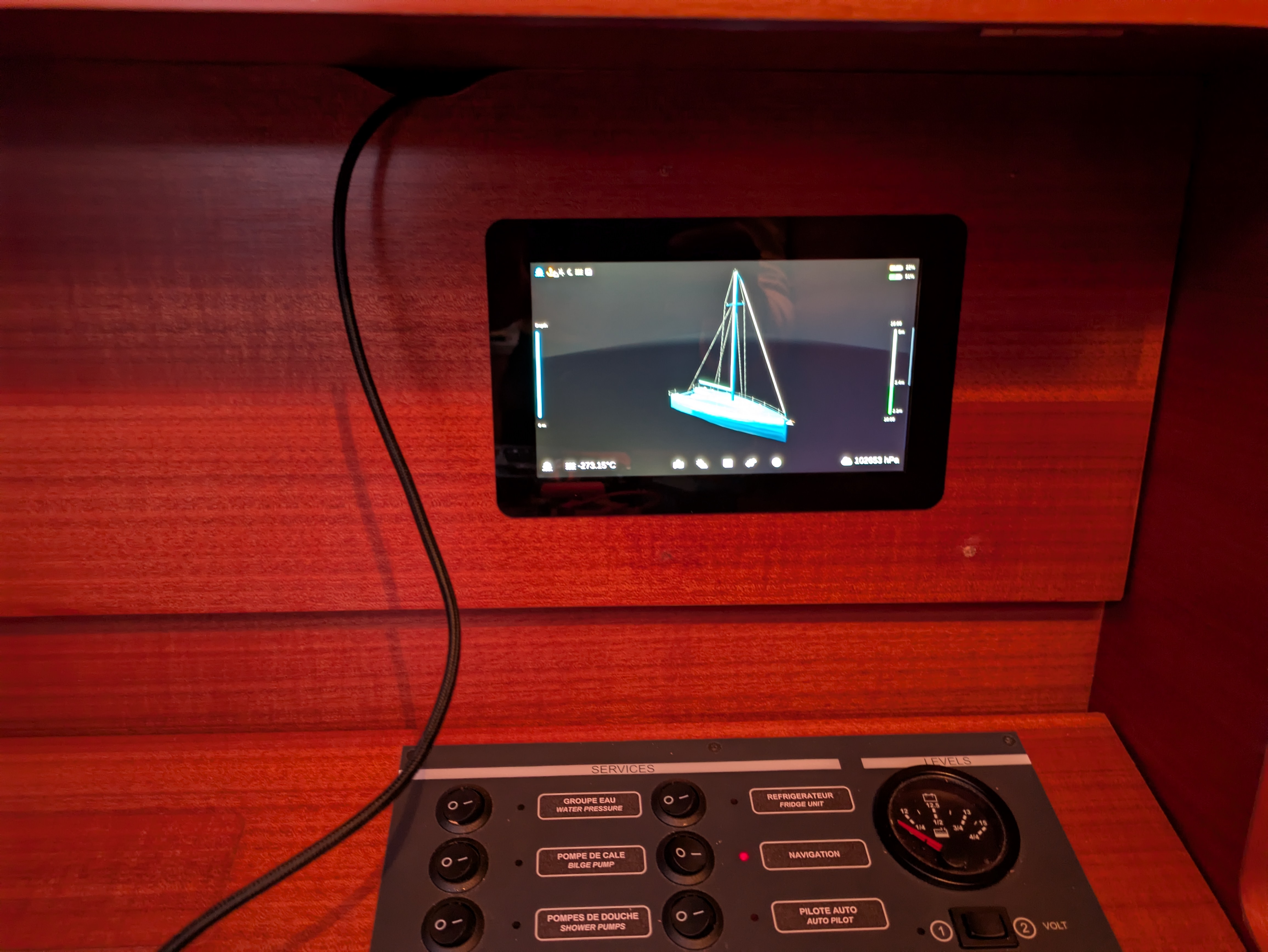
Thanks to OpenPlotter, Signal K, and the MacArthur Hat project for their foundational work. The system also integrates with additional tools such as Windy App, Kip Dashboard, and Freeboard-SK. Thanks to Apparent Wind Sail-Trim Simulator https://github.com/flyinggorilla/simulator.atterwind.info for is work on sail representation Thanks to https://jieter.github.io/orc-data/site/ for Polar data Special thanks to open-source 3D model contributors for enhancing the visual experience.
⚠ Navigation Disclaimer
Use with Caution – Not a Substitute for Official Navigation Systems
Ocearo UI is designed to enhance sailing awareness and provide real-time data visualization. However, this software is not a certified navigation or safety system and should not be relied upon as the sole source of navigational information.
- Always cross-check data with official marine charts, GPS devices, and other navigation aids.
- Maintain situational awareness and follow maritime safety regulations.
- The developers of Ocearo UI are not liable for any incidents, accidents, or navigation errors that may arise from using this software.
By using Ocearo UI, you acknowledge and accept the inherent risks of relying on non-certified navigation tools. Always navigate responsibly!


